Accelerating GIS Workflows with Geodesic
January 16, 2024In this insightful exploration of the Geodesic Platform, we uncover how this cutting-edge tool is revolutionizing the field of Geographic Information Systems (GIS). Geodesic emerges as a trailblazer, being the first and only Data Mesh specifically optimized for spatiotemporal data. The platform expertly handles land record management, such as tax parcels, and elevates spatial analysis across various geospatial features.
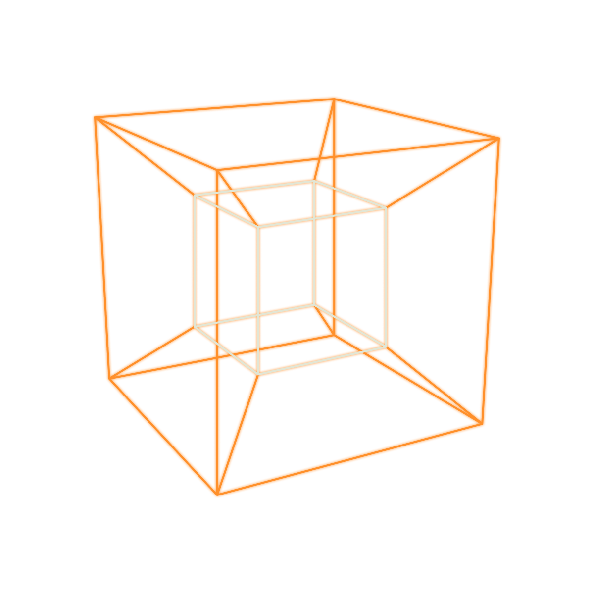
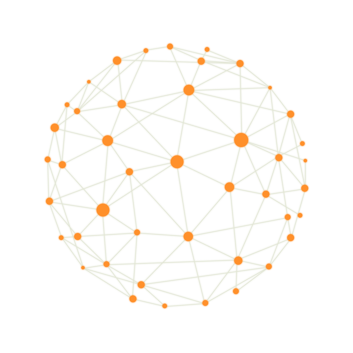
The excerpt focuses on Geodesic’s ability to seamlessly integrate diverse data sources, a task traditionally challenging for GIS analysts and Data Scientists. This integration is crucial for comprehensive analyses, including flood risk assessment and environmental pollution tracking. Geodesic’s robust, cloud-native architecture, featuring components like Boson, Entanglement, and Tesseract, redefines data access, organization, and large-scale analytics.
A highlight of the article is the practical application of the Geodesic Platform in Cook County, Illinois, for parcel enrichment using zonal statistics on over a million parcels. This case study exemplifies the platform’s proficiency in managing extensive datasets and simplifying GIS data management, showcasing its potential to transform spatial data handling and analytics in various sectors.